
There is a point, when you drive west out of Plymouth and into Cornwall, where most people simply keep going. They head for Looe, or Fowey, or Padstow, or St Ives. They are aiming for the Cornwall they have seen in brochures and television programmes: whitewashed cottages, surf beaches, harbours, cream teas and increasingly expensive car parks. And in doing so, quite a lot of them drive straight past one of the loveliest parts of the county.
The Rame Peninsula.
Tucked into the south-eastern corner of Cornwall, with Plymouth Sound on one side and the broad sweep of Whitsand Bay on the other, Rame feels just slightly removed from everything else. It is sometimes called Cornwall’s “Forgotten Corner”, which sounds a little melancholy until you spend time here and realise that being forgotten may actually be part of its charm. The South West Coast Path itself describes it as exactly that: a forgotten corner of sandy beaches, tidal creeks, rolling fields and country parks.
It is Cornwall without quite so much performance. There are no enormous resort towns, no endless parade of gift shops selling identical nautical cushions, and no feeling that every square metre of coastline has been carefully packaged for visitors. Instead there are tiny villages, hidden beaches, wooded coast paths, military history, fishing boats, sea views, and pubs where you can sit outside with a drink and watch Plymouth on the opposite shore.
Perhaps the strangest thing about the Rame Peninsula is how close it is to a city. You can be standing among deer and ancient trees in Mount Edgcumbe Country Park, looking across Plymouth Sound, and be only minutes by ferry from the restaurants and bars of Stonehouse and Royal William Yard. That contrast is one of the things that makes this part of Cornwall so special.
So where exactly is the Rame Peninsula?
The Rame Peninsula forms the south-eastern tip of Cornwall. To the east is Plymouth Sound and the Hamoaze, to the south is the English Channel, and to the west stretches Whitsand Bay. Within the peninsula and its immediate surroundings are places including Cremyll, Mount Edgcumbe, Maker, Millbrook, Kingsand, Cawsand and Rame Head. It is connected to Plymouth by water and to the rest of Cornwall by road through the Torpoint and Millbrook area.
Geographically, it feels almost like its own little world, and that is exactly what I like about it. You can go from an enormous sandy beach to woodland, wander through a historic fishing village, and finish the day at a waterfront pub, all without driving very far at all.
Kingsand and Cawsand
If somebody asked me to show them the prettiest part of the Rame Peninsula first, I would probably take them to the villages of Kingsand and Cawsand. Technically, they are two villages. In reality, you can walk from one into the other without being entirely sure when you have crossed the boundary. They tumble down towards the water in a maze of narrow streets, old cottages and lanes which seem completely unsuitable for modern cars; something which has, obviously, never stopped anyone trying.
There is something wonderfully old-fashioned about them. They are seaside villages rather than seaside resorts. No giant promenade, no pier, no amusement arcade, no row of enormous hotels. Just houses clustered around the shoreline, little beaches, pubs, cafés and the sea.
For hundreds of years, life here was connected far more naturally to the water than to the roads behind the villages. The South West Coast Path notes that Kingsand and Cawsand share histories of fishing and smuggling, and that their connections outside the district were historically made by sea rather than by land. That maritime feeling is still very much there. Fishing boats sit offshore, paddleboarders drift across the bay, children jump from the rocks, and on summer days the passenger boat from Plymouth pulls into Cawsand Beach.
Cawsand Beach
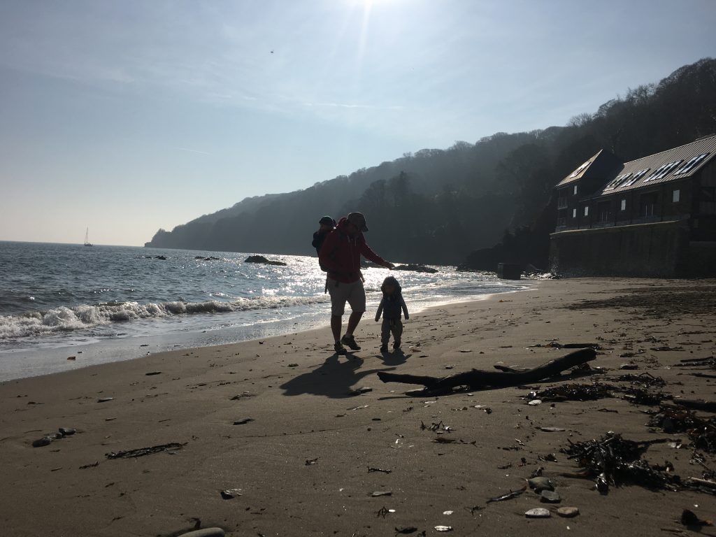
Cawsand Beach is probably the beach most visitors immediately associate with the villages. It is a sheltered little bay, which makes it feel very different from the huge Atlantic-facing beaches further west. On a calm summer day, the water can look almost Mediterranean. Almost. This is still Cornwall, so you should probably pack a fleece!
Because the beach lies inside Plymouth Sound rather than facing directly into the open Channel, the water is often relatively sheltered, which makes Cawsand particularly appealing for swimming, kayaking and paddleboarding. And there is something rather lovely about sitting on the beach while boats move across the Sound in front of you: yachts, fishing boats, naval vessels, ferries, or simply somebody who has dramatically overestimated their paddleboarding ability being slowly blown towards Devon.
Cawsand is also connected seasonally by passenger ferry with Plymouth’s Barbican, giving visitors one of the nicest possible ways of arriving. Plymouth Boat Trips currently operates the Cawsand Ferry service, although crossings can be affected by weather and tides. There is something much more romantic about arriving at a Cornish beach by boat than spending twenty minutes trying to reverse into a parking space.
Kingsand Beach
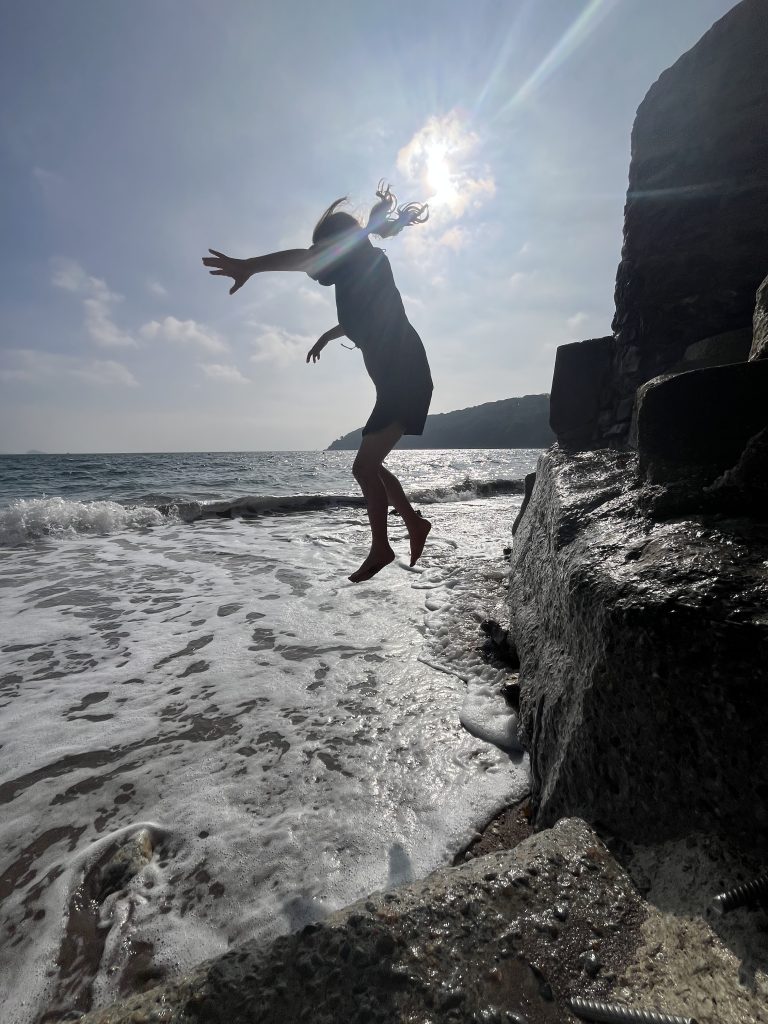
Walk a few minutes around the village, and you reach Kingsand, which has its own beach and a slightly different character. The South West Coast Path notes that Kingsand Beach is dog-friendly all year round, which makes this stretch particularly popular with walkers.
The village itself is worth exploring slowly. Look up, look down the little alleyways, and notice the old buildings and slate roofs. One building still carries a reminder of a rather wonderful historical quirk: Kingsand was once actually in Devon, while neighbouring Cawsand was in Cornwall.
The county boundary was changed in 1844, bringing Kingsand into Cornwall too, which means Kingsand has achieved something many people from Plymouth dream of. It successfully became Cornish.
The Bay at Cawsand
This brings me to one of those places where location does at least half of the work. The Bay Bar & Restaurant sits right on the waterfront at Cawsand. Not “near the beach”. Not “with glimpses of the sea if you lean around a drainpipe”. Right there. Its own website rather confidently promises “a view from every table”, and describes the restaurant as sitting in historic Cawsand Bay.
This is exactly the sort of place I love on a summer evening. You sit with a drink, boats move across the water, the light changes, people gradually leave the beach, and for a little while the world feels remarkably manageable. The menu leans naturally towards coastal food; fish, mussels and seafood alongside pub and restaurant favourites, with vegetarian choices too. But really, if you are sitting there with the sea outside, you are also paying for the scenery. And I am perfectly happy with that arrangement.
Walking from Cremyll to Kingsand and Cawsand
One of the best ways to experience the peninsula is on foot. The South West Coast Path between Cremyll and Cawsand is particularly lovely because it doesn’t immediately feel like the stereotypical exposed cliff walking people imagine when they hear “coast path”. Much of this stretch runs through parkland and woodland.
The official Coast Path route from Cremyll Ferry to Kingsand and Cawsand is about 3.5 miles / 5.7 kilometres and is graded moderate. Starting near the Cremyll ferry landing, you walk into the grounds of Mount Edgcumbe, and from there the route passes historic gardens, woodland and open areas with views over Plymouth Sound before eventually bringing you towards the two villages.
It is one of those walks where there is always something to look at: historic buildings, old military defences, boats crossing the Sound, woodland, sea, and — if you are lucky — deer. Some sections near Cremyll, Mount Edgcumbe and the old carriageway towards Kingsand are also described by the Coast Path as suitable for wheelchairs and pushchairs, although the complete route includes a steeper section. For families, it is a particularly good introduction to walking the coast. It feels like an adventure without immediately requiring crampons and a mountain rescue team.
Mount Edgcumbe Country Park
Mount Edgcumbe House and Country Park deserves considerably more attention than it sometimes receives. It occupies an extraordinary position overlooking Plymouth Sound, and the estate includes formal gardens, woodland, coast, parkland and historic buildings. The formal gardens were laid out in the eighteenth century and include notable specimen trees and the National Camellia Collection.
You absolutely do not need to be somebody who gets excited about formal horticulture to enjoy it, though. You can walk for miles, bring a picnic, watch the ships, explore the coastline, or simply find a patch of grass with a view and stop. In fact, one of my favourite things about Mount Edgcumbe is that it doesn’t feel manicured into submission.

Yes, there are formal areas, but there are also woods, grassy slopes and places that simply feel like countryside. The deer park is home to a herd of fallow deer whose ancestry on the estate dates back centuries, and for children, spotting deer while simultaneously being able to see warships and ferries on Plymouth Sound is a fairly unusual combination. There are also all sorts of architectural oddities scattered through the estate, including the amphitheatre, Milton’s Temple and the Folly. You can spend a couple of hours here, or most of the day.
The Cremyll Ferry
And then there is the ferry. There is something disproportionately enjoyable about a tiny passenger ferry. The Cremyll Ferry has linked this corner of Cornwall with Plymouth for centuries; the South West Coast Path records a ferry service here dating back to the early thirteenth century. Today the service crosses between Cremyll and Admiral’s Hard in Stonehouse. The crossing itself only takes a few minutes, but it completely changes how connected the Rame Peninsula feels. You can spend the day walking around Mount Edgcumbe and then cross into Plymouth for dinner, or stay in Plymouth and come across to Cornwall without taking the car at all.
The current operator, Plymouth Boat Trips, restored the Cremyll service to Admiral’s Hard in July 2026 after temporary slipway works. From Admiral’s Hard it is only a short walk along the waterfront to Royal William Yard.
Across the water: Royal William Yard
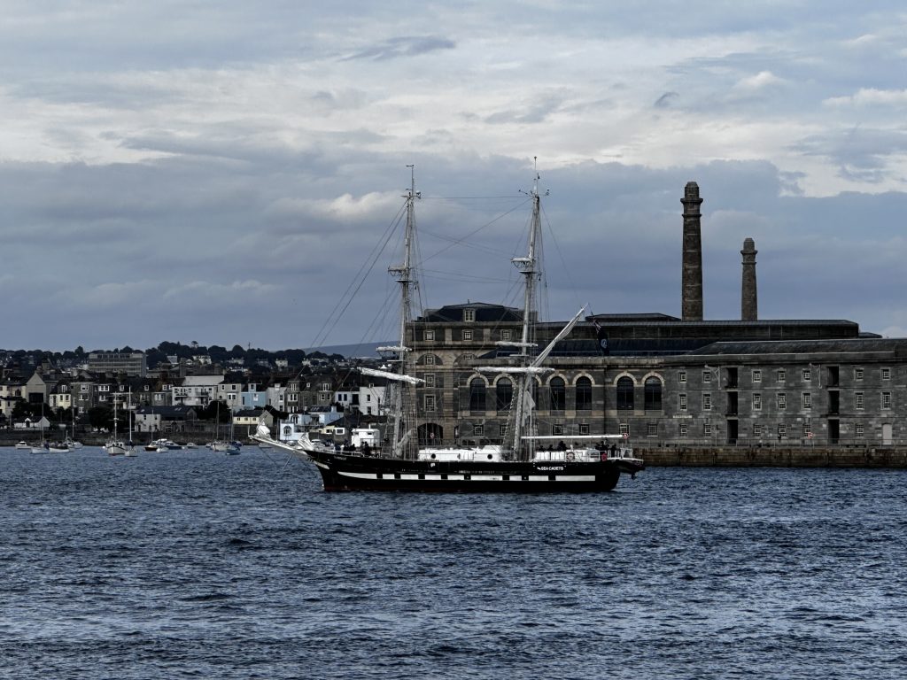
This is one of my favourite contrasts. Stand at Cremyll, look across the water, and you can see Plymouth. Cross on the ferry, walk for ten minutes or so, and you arrive at Royal William Yard; an enormous former naval victualling complex which has been transformed into a waterfront neighbourhood of restaurants, cafés, businesses and apartments. So you can spend the morning in woodland in Cornwall and the afternoon eating lunch beside a marina in Plymouth.
Royal William Yard also has its own Waterlink ferry connecting it with the Barbican and Saltash, introduced as a regular route in 2026. This whole network of boats makes Plymouth Sound feel almost like one connected coastal community, rather than Cornwall sitting on one side and Devon on the other.
And travelling by ferry is simply more fun. I don’t care how old you are, getting on a boat makes an ordinary day out approximately 34% more exciting. That is science. Probably.
The Edgcumbe Arms at Cremyll
Conveniently — very conveniently — next to the Cornwall side of the ferry is The Edgcumbe Arms Waterfront Country Pub & Inn. This is a proper waterfront pub. The building dates from the seventeenth century and sits right beside the Cremyll ferry landing, looking back across the water towards Plymouth. It serves St Austell ales and traditional pub food, with outdoor seating making the most of that position.
This is precisely where I would recommend stopping after walking around Mount Edgcumbe. Cold day? Go inside, find somewhere cosy and order something warming. Sunny day? Sit outside, watch the ferry shuttle backwards and forwards, look across to Royal William Yard, and congratulate yourself on choosing the correct side of the Tamar to sit on. Perhaps controversially, the best view of Plymouth may actually be from Cornwall.
Cawsand to Rame Head
If the Cremyll-to-Cawsand section of the Coast Path is the gentler introduction, continuing beyond Cawsand shows you a much wilder side of the peninsula. From the village, the Coast Path heads through Penlee Woods and towards Penlee Point, and from here the landscape begins opening out. The sheltered waters of Plymouth Sound gradually give way to something altogether more dramatic. Ahead lies Rame Head.
The official Cawsand-to-Whitsand route is 5.2 miles / 8.4 kilometres and graded challenging, particularly because of the steeper descents and climbs beyond Rame Head. The walk gives you both personalities of the peninsula: behind you are Cawsand, Kingsand and Plymouth Sound; ahead is Whitsand Bay; and in between is the headland itself.
Rame Head
Rame Head is one of those places where you understand immediately why people have used prominent headlands as lookout points for thousands of years. It sticks dramatically out into the sea, giving huge views in both directions, and at the top stands the small medieval chapel of St German. The South West Coast Path notes both the headland’s Iron Age fortifications and its traditional association with the spotting of the Spanish Armada.
Whether you are interested in the history or not, the view is enough reason to climb up. On a clear day the horizon seems enormous. And because this is open coastline, the weather has a habit of reminding you who is actually in charge: you can leave Cawsand under blue skies and reach Rame Head feeling as though you have accidentally entered the North Atlantic. This is Cornwall. Layers are not optional.
Whitsand Bay
Then comes Whitsand, which is almost the opposite of Cawsand. Where Cawsand is small, sheltered and villagey, Whitsand is vast. The bay stretches for miles beneath dramatic cliffs, and at low tide huge areas of sand appear below them. There are several access points down to the beaches, often involving steep paths or steps, and that relative difficulty of access is partly why Whitsand can feel so wonderfully uncrowded compared with better-known Cornish beaches.
It is beautiful. Properly beautiful, enough to give the long sandy beaches of Australia a run for their money, and clear water, with shallow turquoise reefs and pools. Access to the beach is slightly inconvenient, which may be the perfect formula for its preservation. The Coast Path route west from Rame Head overlooks the bay and passes Polhawn Fort before continuing above the coast.

Whitsand is popular with surfers, swimmers, walkers and divers, but conditions deserve respect. This is exposed coastline: the cliffs are steep, the sea can be powerful, and beach access can change with tides and conditions. It is not the sort of place where I would encourage anyone to wander down blindly because TikTok told them there was a “secret beach”. Check tides, check conditions, and remember that if walking down somewhere makes your thighs complain, walking back up will generally involve the same hill in reverse.
Diving and HMS Scylla
Whitsand also has something rather unusual sitting offshore. In 2004, the former Royal Navy frigate HMS Scylla was deliberately sunk in Whitsand Bay to create an artificial reef and diving site, and the Coast Path notes that walkers overlooking the bay can often see dive boats visiting the reef. It has made the area particularly interesting for divers.
The Rame Peninsula generally has an unusually strong connection with the sea. You can fish it, sail it, swim it, dive it, paddleboard on it, or simply sit beside it with chips. I am personally a great supporter of the final option.
Fishing around the Rame Peninsula
Unsurprisingly, fishing has long been woven into life here. For recreational anglers, the peninsula provides access to very different types of coastal fishing within quite a compact area: there are sheltered waters around Plymouth Sound and Cawsand Bay, while the exposed coastline towards Rame Head and Whitsand offers completely different conditions. Rock fishing, shore fishing and boat fishing all take place around this stretch of coast, and bass, mackerel and other coastal species can be found depending on season and conditions.
This is another activity where local knowledge matters. Rock platforms can become dangerous, tides can isolate areas, weather changes, and the open coast deserves respect. If you are unfamiliar with the area, going with somebody local or using an experienced guide is considerably more sensible than assuming the sea will behave because the weather app contains a little yellow sun.
Walking the South West Coast Path
The Rame Peninsula really comes into its own if you like walking, and you can make the walks as gentle or as ambitious as you like. For a relatively manageable outing, walk from Cremyll through Mount Edgcumbe towards Kingsand and Cawsand. For something more substantial, continue from Cawsand around Rame Head towards Whitsand. The full Mount Edgcumbe to Rame route listed by the South West Coast Path is around 10.7 miles / 17.3 kilometres and described as challenging. There is also a 6.2-mile Cremyll-to-Rame Head circular-style route promoted as a taste of The Salt Path, passing through the parkland and coastal landscape.
This is perhaps the nicest way to understand the area, because walking lets you see how quickly everything changes: woodland, parkland, fishing villages, sheltered bays, open cliffs, headlands, huge beaches. The Rame Peninsula looks small on a map. On foot, it feels remarkably varied.
Maker Heights
Above Kingsand and Millbrook sits Maker Heights. Its elevated position gives magnificent views across the surrounding area, and its history is strongly connected with the military defence of Plymouth. Today the old military buildings house a mixture of creative, community and food businesses.
One particularly popular stop is The Canteen at Maker Heights, which has become one of those places people tell other people about. Go for breakfast, have lunch, combine it with a walk — then pretend you discovered it entirely by accident and have known about it for years.
Maker is also a good reminder that this part of Cornwall isn’t only about beaches. The military heritage around Plymouth Sound is everywhere once you begin noticing it: fortifications, batteries and defensive structures dot the landscape, because protecting Plymouth and its naval importance shaped the entire area for centuries.
Millbrook
Millbrook sits inland from Kingsand and Cawsand around a tidal creek. It is less immediately picturesque in the postcard sense than the two coastal villages, but it is much more of a functioning local centre.
People actually live here year-round. There are shops, pubs, community life and an excellent play park and pretty walk around the creek which is suitable for scooters and balance bikes. We spent a LOT of time here when the children were tiny.
Beautiful coastal villages can sometimes feel as though they are gradually becoming holiday accommodation with a church attached. Millbrook still feels like a real place. It also makes a useful base for exploring the wider peninsula, because Cawsand, Kingsand, Maker and Whitsand are all close by.
A peninsula made for slow days
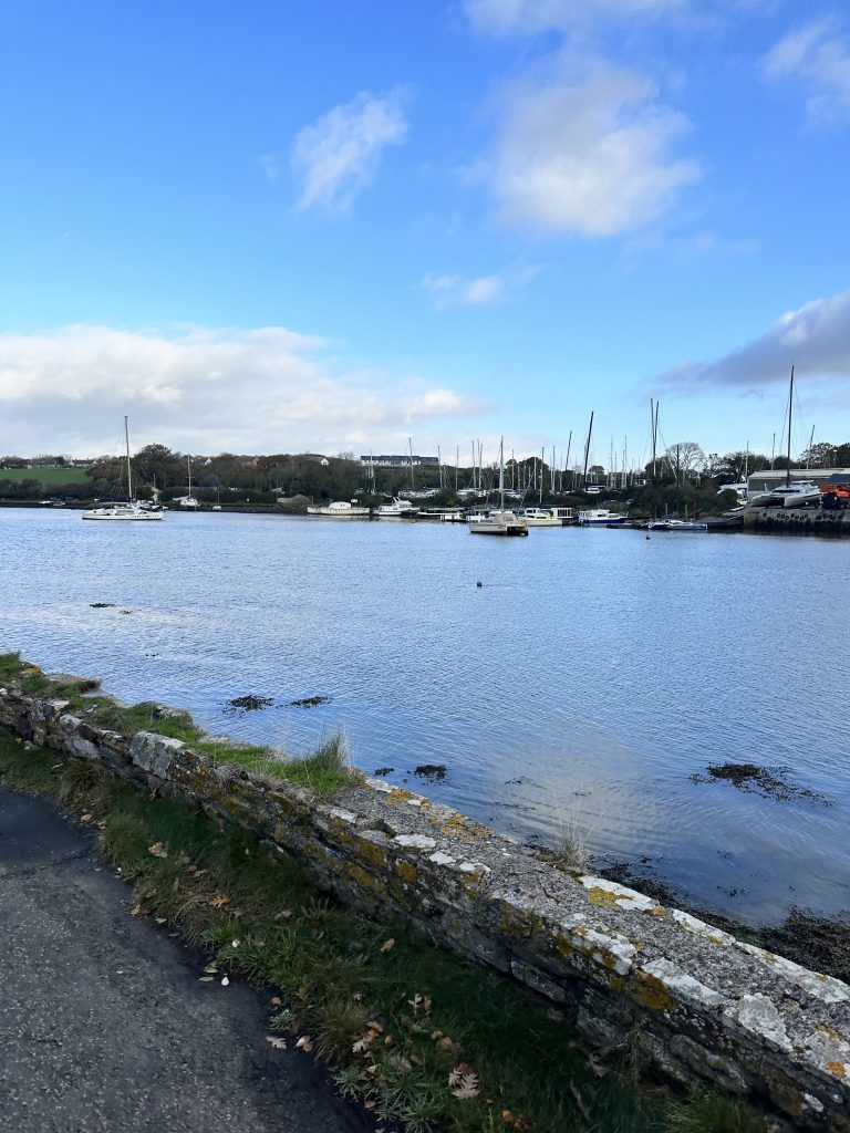
Perhaps the thing I like most about the Rame Peninsula is that it rewards not having too much of a plan. You could create a military itinerary, or a walking itinerary, or a beach itinerary, but you don’t really need one.
Get the ferry. Walk through Mount Edgcumbe. Have lunch. Keep walking if you feel like it. Stop in Kingsand, wander into Cawsand, have a swim, get a drink at The Bay, and catch the boat back if it is running. Or turn around and walk home.
It is the sort of place where the spaces between the “attractions” are actually the attraction: the lane, the view, the unexpected path, the pub garden, the beach you didn’t intend to stop at, the ferry crossing, the hour spent watching boats.
If you only have one day
If somebody was visiting Plymouth or South East Cornwall and only had one day to discover the peninsula, this is probably how I would do it.
Start in Plymouth and make your way to Admiral’s Hard in Stonehouse, then take the Cremyll Ferry across the water. Have coffee (or something stronger, depending on the hour), at the Edgcumbe Arms. Walk through Mount Edgcumbe Country Park and follow the Coast Path towards Kingsand and Cawsand. Explore both villages, then have lunch or an early evening drink overlooking the beach in Cawsand. If the seasonal Cawsand Ferry timetable works, return to Plymouth by boat; otherwise use local transport or arrange your return towards Cremyll.
That gives you ferry, countryside, coast path, history, villages, beach and pub in one day. Which is a fairly respectable return on investment for a day out.
When should you visit?
Summer is glorious, obviously. On a sunny day, Cawsand can genuinely make you wonder why you ever booked a flight somewhere else. But I don’t think summer is necessarily when the peninsula is at its best.
Spring is beautiful around Mount Edgcumbe, particularly when the gardens and camellias are in bloom, and early autumn can be spectacular for walking. Even winter has its appeal. There is something wonderful about a cold, bright winter day on this coast: walk until your face goes pink, watch enormous seas breaking beyond Rame Head, then retreat to a pub with a fire. That is a perfectly respectable Cornish wellness programme.
The South West Coast Path particularly recommends the Mount Edgcumbe section in early spring and autumn, because of the gardens and the changing woodland.
The other Cornwall
Cornwall has become an enormously powerful brand. That has brought opportunity, visitors and investment — but it has also created a particular picture of what Cornwall is supposed to look like. Certain beaches. Certain towns. Certain harbours. Certain Instagram photographs.
The Rame Peninsula doesn’t quite fit into that version, and I think that’s precisely why I like it. It is influenced by Plymouth, yet very definitely Cornish. It is rural, but not isolated. Wild, but accessible. Historic, but lived-in. Beautiful, but not polished into a tourism product. And from some parts of it, you can literally look across the water at a city.
There cannot be many places where you can spend the morning walking through a deer park in Cornwall, eat lunch in a tiny fishing village, stand on a dramatic headland overlooking the Channel, then hop on a small ferry and be back among the restaurants of Plymouth before dinner.
Cornwall’s Forgotten Corner: hopefully not too forgotten
Perhaps we shouldn’t tell everybody about it. Perhaps “Forgotten Corner” is exactly how the locals would prefer it to remain. Because there is always a strange tension when you love somewhere: you want other people to see why it is special, but you don’t particularly want them all to arrive at once.
So consider this a gentle recommendation. Come to Rame. Walk, swim, explore, eat, catch the ferry and sit beside the water. Spend money with the independent businesses. Take your rubbish home. Don’t block somebody’s driveway because Google Maps has assured you that their garden is a public car park. And please remember that people actually live in those beautiful little cottages you are photographing.
Then, when somebody tells you they are going to Cornwall and asks whether they should visit St Ives or Padstow, you can say: “Yes. They’re lovely.”
And then, perhaps a little more quietly: “But have you ever been to the Rame Peninsula?”
